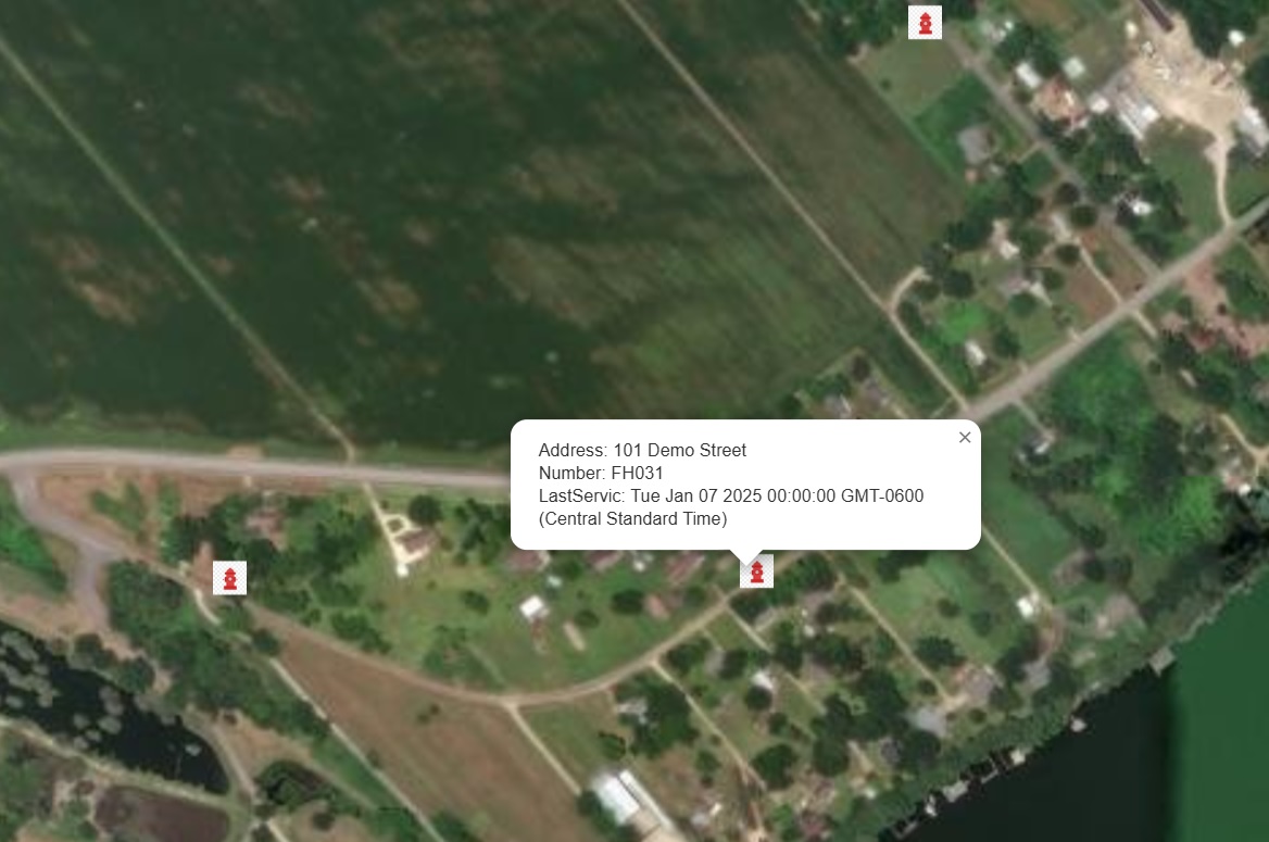
Mapping Fire Hydrants with GIS: Revolutionizing Fire Department Response Times
When seconds count, every piece of information matters. For fire departments, locating fire hydrants quickly during an emergency can mean the difference between saving a structure or losing it. Traditional paper maps and memory-based navigation are no longer sufficient in today’s complex urban landscapes. Enter Geographic Information Systems (GIS)—a game-changing tool that’s transforming how fire departments […]